
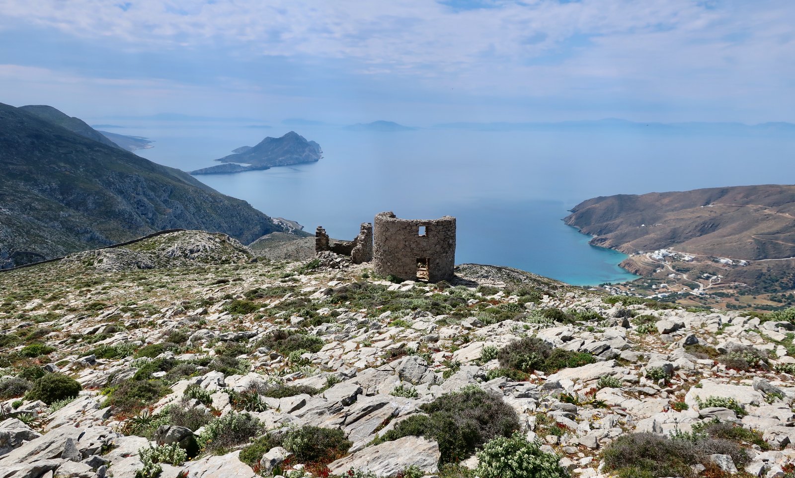
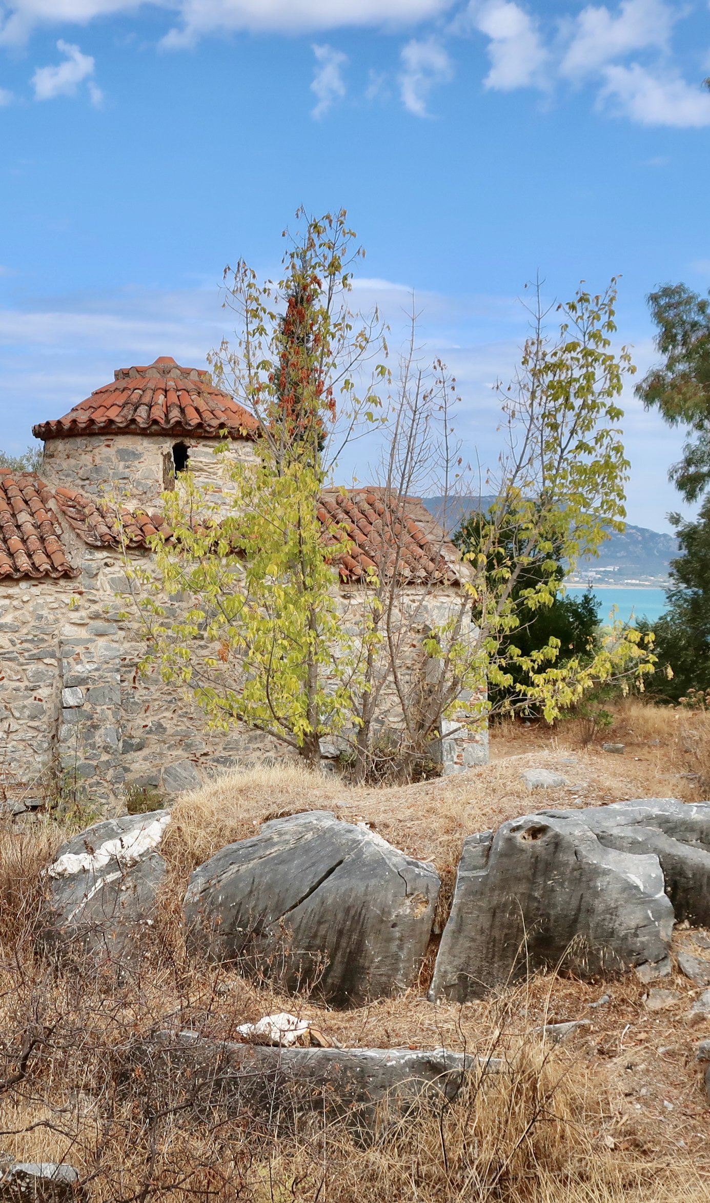
These pages are a personal account of the Greek Islands discovered on foot – thousands of kilometres done on old hiking paths on both popular and little-visited islands.
For ease, the islands have been divided into their standard six groups, one Ionian, five Aegean, plus Kythera and Antikythera, the latter two existing at the junction of the two seas. Each individual island has then been split into two parts, a general section quite loosely about the island itself followed by a section specifically about the hiking. There is also a short Introduction. If you are at all unsure about hiking in the islands, it might be the place to start.
Wherever we have been we have used paper maps, mostly Terrain or Anavasi editions. Both companies produce specialised hiking maps of the islands, also available in digital format, on which trails, distances and contours, are clearly marked.
We have also used and referenced the online hiking sites that a growing number of islands are producing. And still very often we have had to fall back on Google’s blue dot to try and work out where on earth we are. If the waymarking on some of the islands is good, on others it varies between difficult and non-existent.
Although there is an emphasis here on longer hikes, the islands are relatively small and crisscrossed with trails, so that in most cases hikes can be chopped and fashioned to suit individual preference. Similarly, all these hikes are day hikes, with no need for tent or camping equipment. One of the great advantages of the islands is their size.
To date 48 islands have been completed. More are ongoing. It has taken a surprising amount of time to get this far. In a sense, it’s the old paths themselves that have imposed the pace, millions upon millions of steps, distance measured according to the time it takes on foot between two points, the way it was forever until suddenly everything became so very fast.